|
Many thanks for permission to use graphics from their software and toposheets |
|
|
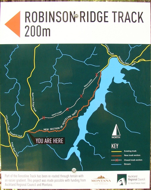
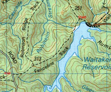
Montana Heritage TrailSection 3: Fenceline Track, Waitakere Dam to SimlaI have just consigned the previous account of this section to the halls of history. 28 November 2007 I revisited the Montana track and discovered there had been some changes made indeed.
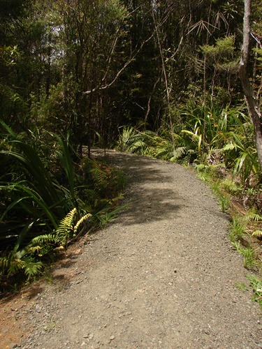
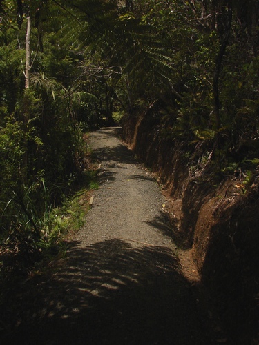
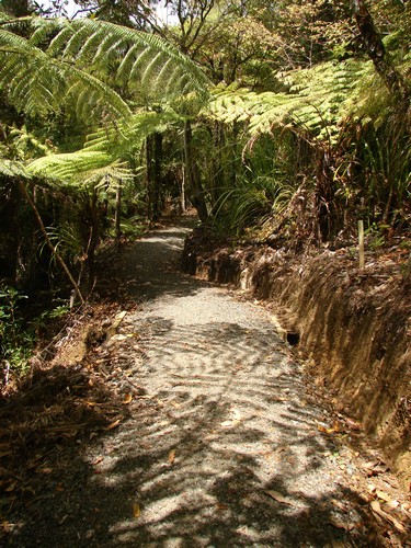
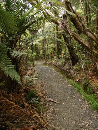
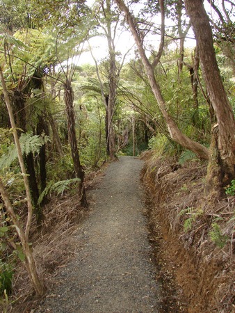
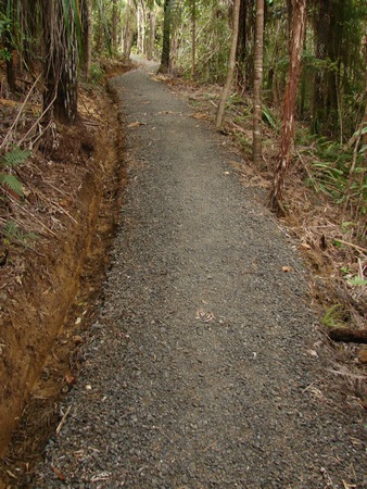
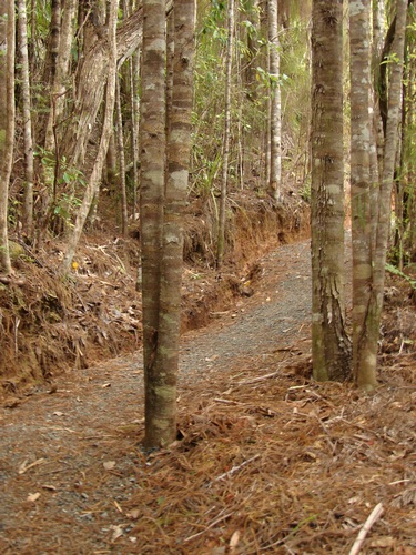
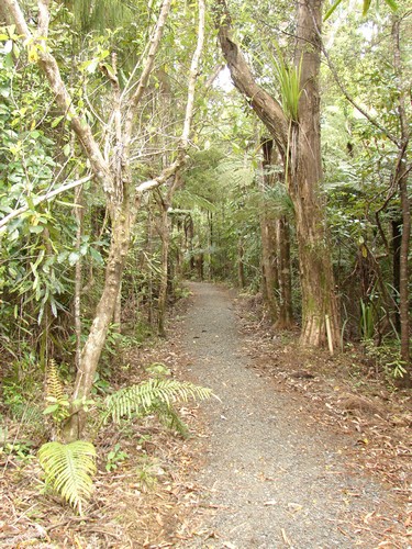
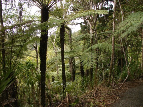
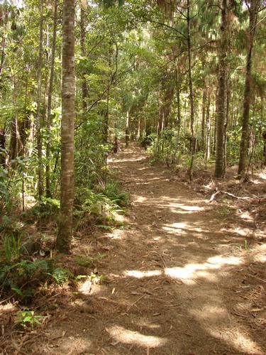
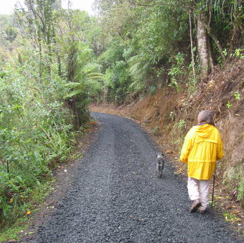
The old Fence Line Track between Waitakere Dam and Simla has been closed and rerouted through terrain which Montana patrons are likely to find easier - and definitely more picturesque - to say nothing of the motorway tramping surface on the new section.
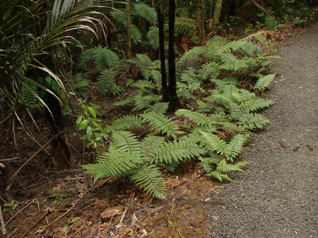
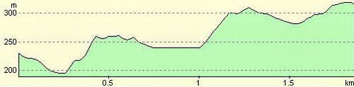
This section crosses three successively higher ridges, ending at Simla, the highest point on the trail. It's a tough section, which is not to ignore a number of hyper-fit types in running gear who jogged past in a mist of evaporating sweat and B.O.
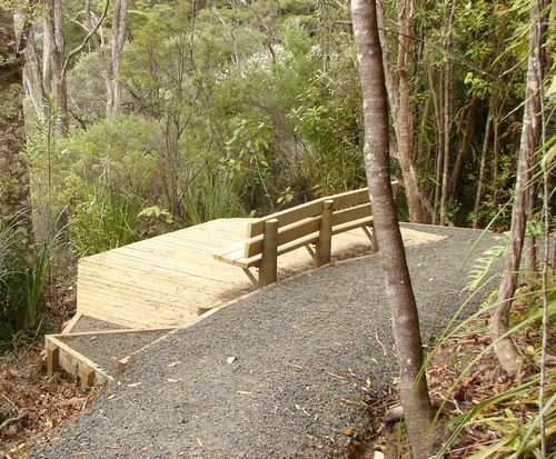
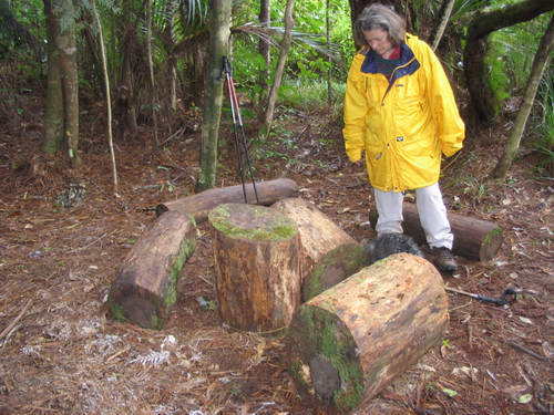
Simla, a small grassy clearing surrounded by pine trees, is the site of a small farm abandoned in about 1910. Publicity handouts speak about a picnic area. They lie. There is a clearing about 10m across where three tracks meet, and enough grass to half fill a lawn-mower catcher, and that's all. About fifty metres before the clearing someone has made use of some sawn sections of tree trunk to provide the only resemblance to a picnic area. As it's about half way round, it is a useful point to stop for lunch or a packs off break.
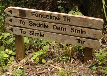
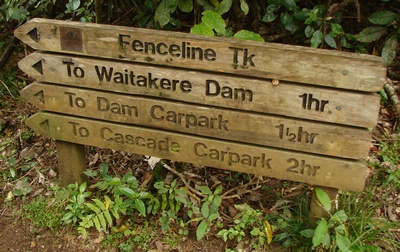
At the start of this section there is a three way junction. You can either turn left a hundred metres or so down to the Waitakere Dam - public toilets may be handy about now, or right towards the Saddle Dam and on towards Simla. This section took us just over an hour.
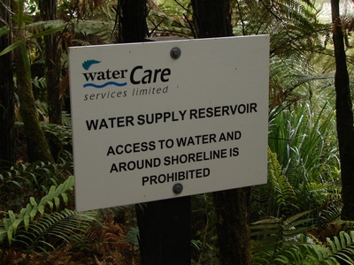
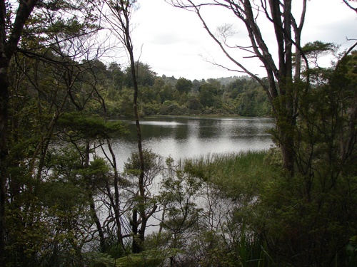
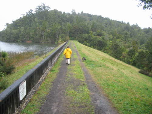
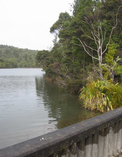
From here on, it's "No more Mr Nice Guy", and we reluctantly leave behind the peaceful reservoir lake
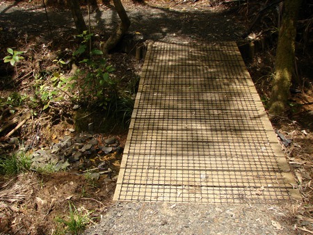
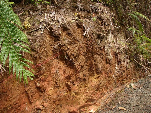
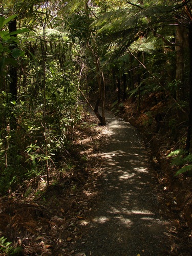
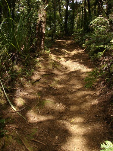
There's been a fair amount of water down this track over the winter, and while it's not bad underfoot, it can be slippery and it's not wise to take your eyes off the path.
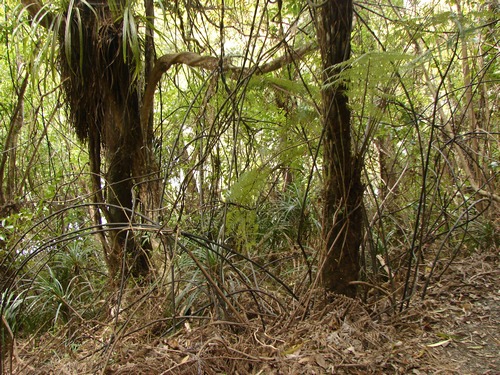
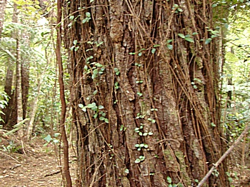
Here and there are signs of the fence that gave its name to the track.
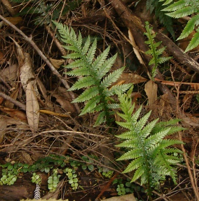
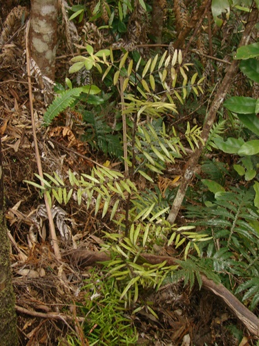
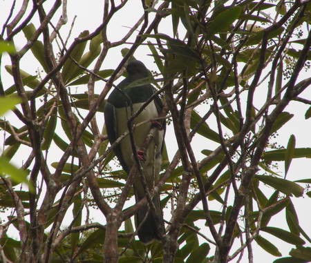
One of the delights on this walk is the more or less continuous birdsong, though the birds themselves are fairly elusive. Now and again we get lucky but good shots are hard to come by. This pigeon kept moving relative to Miranda so that it was nearly always partially masked by vegetation.
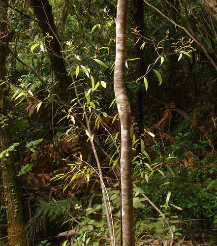
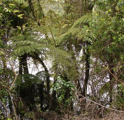
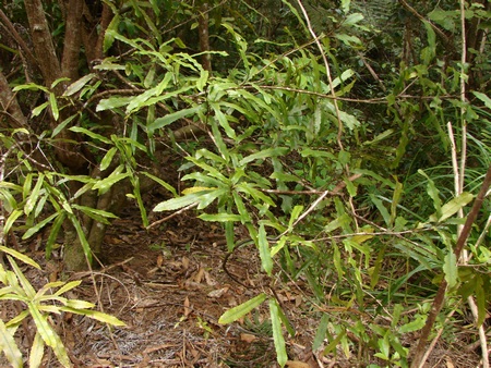
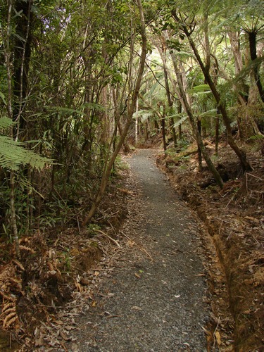
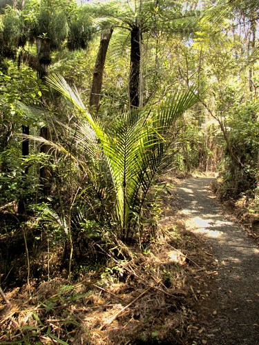
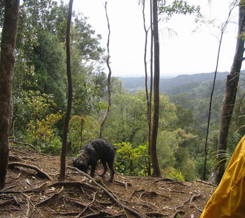
From time to time as we get higher, the surrounding vegetation gets shorter, and we get occasional glimpses out.
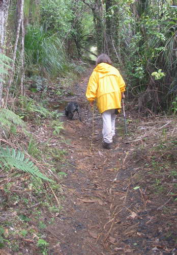
I get to thinking I haven't seen any track that finds so many ways of going upwards. Alice is managing reasonably well except when we go through areas where rimu are growing. Rimu sticks to her coat like a burr, and everytime she sits down to try and get a piece out, she adds another half dozen. It's a major combing job at the end of the day, even allowing for those we take out along the way.
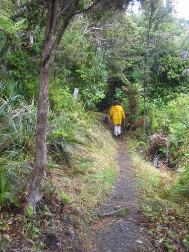
Miranda is wearing raingear as it's been showery since about an hour after we started, and the wind, even in mid-September, still has a bite in it when you stop.
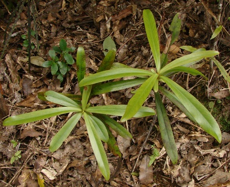
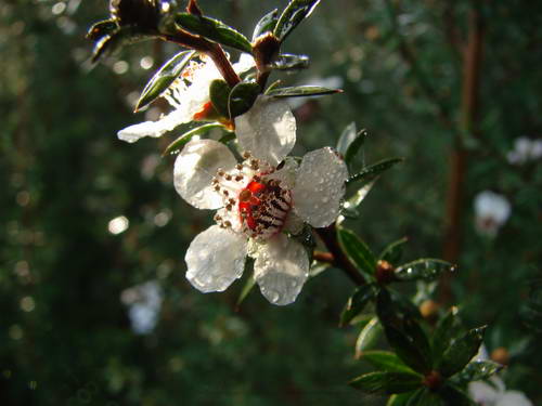
As we cross the top of each ridge there are fewer big trees, and the vegetation is generally lighter and scrubby. Along here much of the track is dusted with manuka petals. (Kanuka will not be out en masse until nearly Christmas.) Manuka flowers are quite beautiful when you take the time to stop and look, and Miranda's camera captures this one superbly. (Taken elsewhere, a day or two previously but apropos, so I'll include it.)
By this time we have been walking nearly 4 hours with a short packs off break for a snack and a sit at the Waitakere Railway Shelter (I mention elsewhere about inadvertently "detouring" via the Anderson, West Tunnel Mouth and Waitakere Dam Railway Tracks. I'll report on those later and post a link here.) We've been drinking water regularly, but our blood sugar is getting a bit low and Miranda is doing "grumpy", but trying not to let it show. I have reverted for the most part to taking record shots of the track and not paying much attention to the vegetation along the track, which is one of my main reasons for tramping anyway. We are in "tramping to get there" mode. We reach another lookout point, with grand views down the valley. Alice heads for the edge and I wonder whether her collar is tight enough not to slip off if we have to haul her back to safety by her lead.
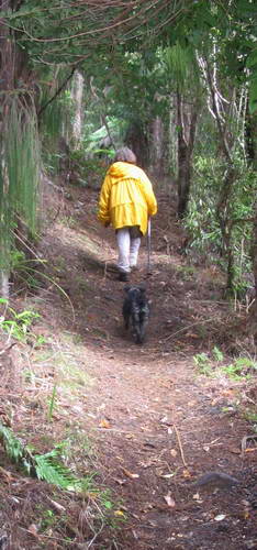
Miranda is using only one hiking pole and has been carrying the lead for much of the time. She is also more sure of her footing. I have been carrying the pack with spare clothes, snacks, etc. As a general comment, you can manage either a dog lead or two poles, but not both, not when it's steepish and slippery, anyway. More steps...
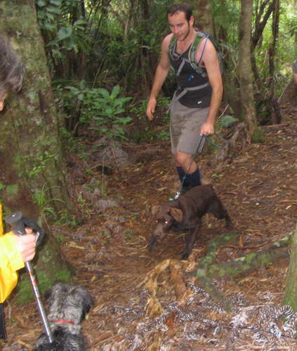
Alice has been flagging a little and is starting to do her "Carry me, please" routine, but just then company arrives. A chocolate labrador the same age as she is. She is overjoyed, and they play for a couple of minutes while both owners haul on leads in the approved fashion. But she's stuffed her credibility properly as far as being exhausted goes.
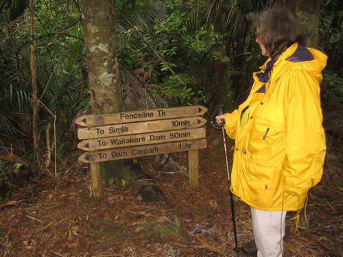
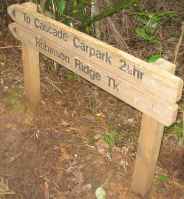
We reach the junction with the Robinson Ridge Track. 1hr 30 min to the carpark. It's tempting. Until I remember that this track takes us down, down, down to the Cascade track and then nearly vertically upward to get back to the carpark itself. Some other time. I can do with a downhill run for the last bit, not a stiff climb. The good news is that we are only ten minutes from Simla and not far off the advertised time.
Then I realise I am so bloody tired I'm not even looking at the right sign
Ten minutes to Simla. Sure enough, the track eases off, and we begin to see, here and there, pine trees marking the site of the original farm. We reach the clearing, sum it up as a potential picnic spot - it's still showering intermittently - score it near zero, and head back about 50 metres to where somebody has organised some old pieces of pine trunk. Lunch is welcome and the thermos of tea is even more so. Given the effort that has gone into the Montana Heritage Trail information board and the signposts, given the spot is recommended in the handout as a halfway break point and picnic spot, a minimal shelter and a seat would have been better reward for our efforts. But given that we have reached here in a fraction of the three days the original farmer took to make the trip from Auckland, we've made at least some progress.
|
|